June 5 - Svalbard

Map of the Arctic, note position of Svalbard.

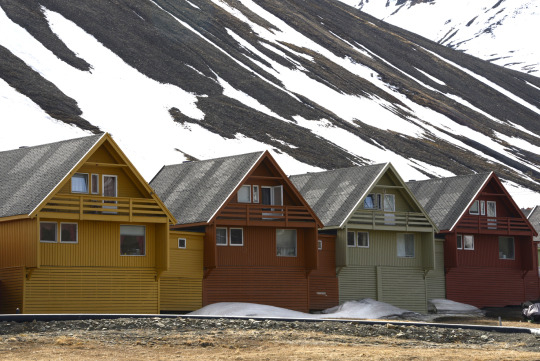


After sleeping until 11:00 we wandered around Longyearbyen. Cute town where the main means of transportation is a snow mobile.


At 3:45 we set out for our first A-Star helicopter flight. Pretty cold and not great visibility but still great photos.

Today we flew over fields of glaciers through Wedel Jarlsberg Land in Svalbard, Norway - this particular snow ridge is called Konglomeratfjellet.

Broken Sea Ice, Wedel Jarlsberg Land

Nathorstbreen, blue ponds on glacier, Wedel Jarlsberg Land

Konglomeratfjellet Glacier, Wedel Jarlsberg Land
Can’t wait for tomorrow!