The journey to Greenland is not easy. There are no direct flights from the U.S. and the layovers in either Denmark or Iceland are long. Those that make the journey will be overwhelmed with its beauty. Ilulissat, Greenland is noted for its incredible icebergs. The size and amount of icebergs relate to what is happening with our climate.
Kirsty and I checked into the Hotel Arctic where we had a spectacular room overlooking the icebergs of Disko Bay.
I walked to town to talk about my night flight over the Jakobshavn and Northern Glaciers with Ricky Nielsen of Air Zafari.

lulissat Harbor
Latitude: 69.22 degrees N
Longitude: 51 degrees W
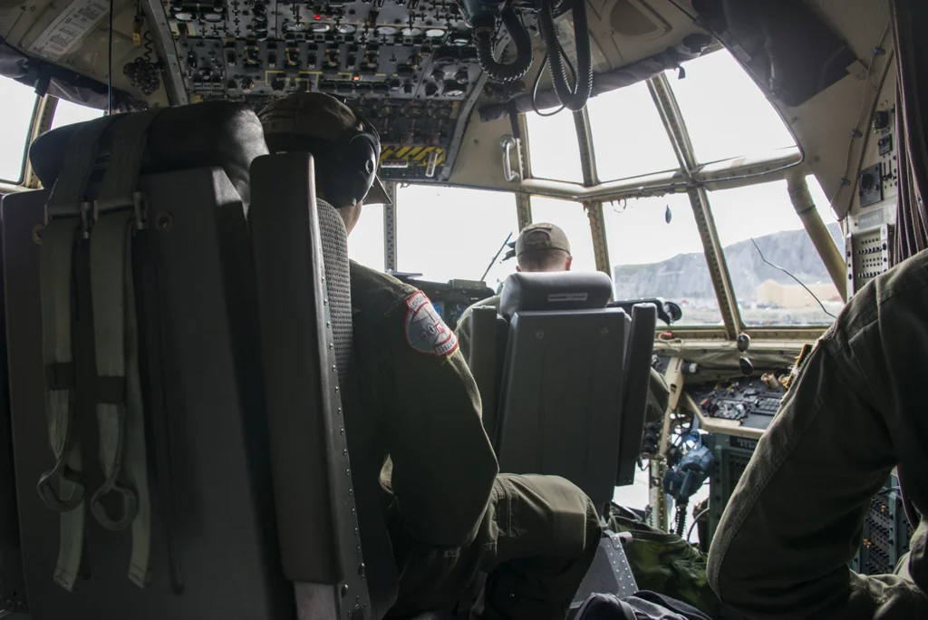
Greenland Telecommunications had leased all of the Air Greenland helicopters for the week. Tonight’s aerials would have to be done in a twin-engine Vulcan, where the slowest speed would be 90 mph.
From 8 to 11:00 PM we flew over the Jakobshavn and Northern Glaciers, Greenland’s ice sheet and Disko Bay. A great beginning to what will be an amazing 11 days in Greenland!
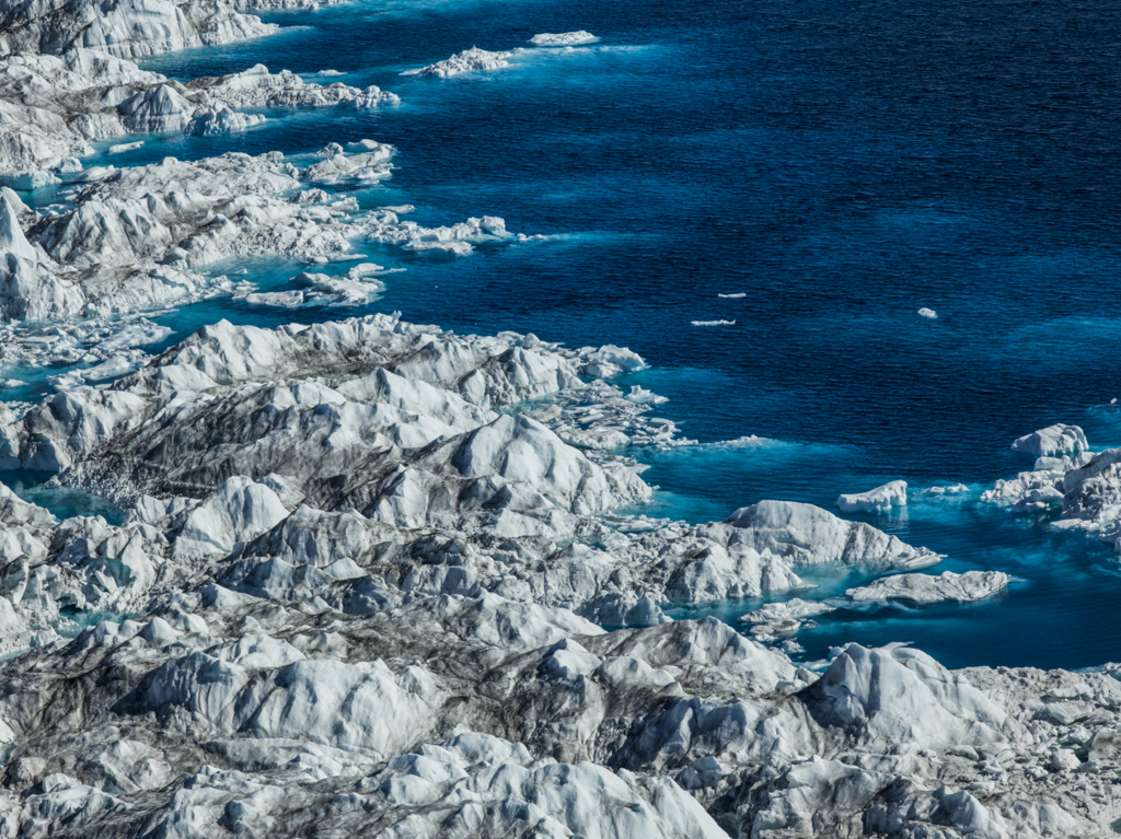
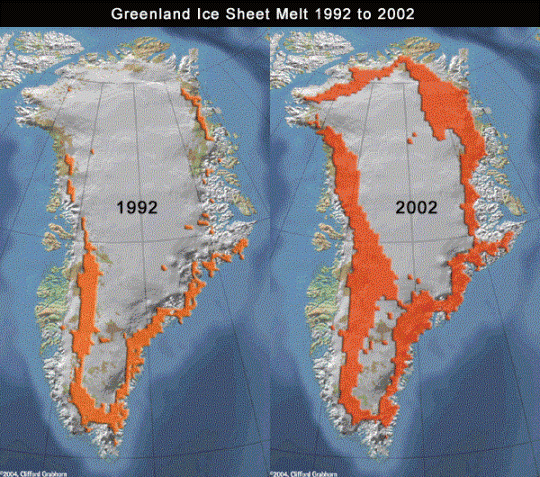
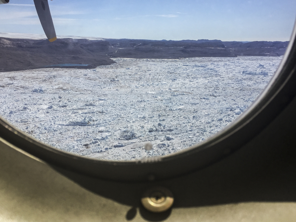
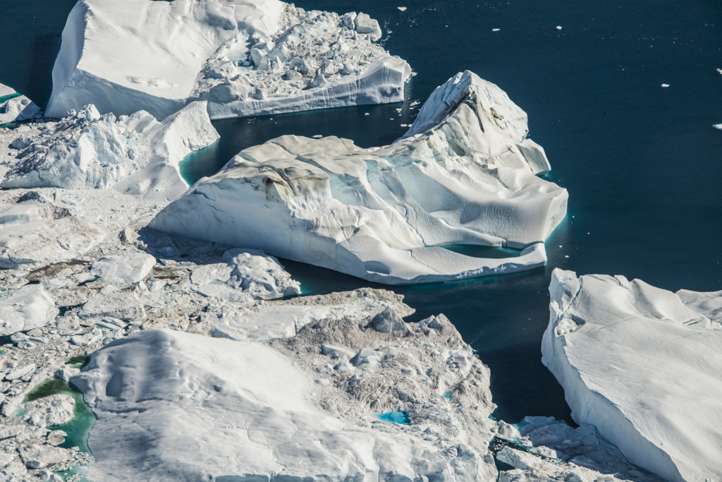
The Jakobshavn Glacier is the fastest receding glacier in the world and therefore is constantly calving. The icebergs from this glacier fill the Jakobshavn Inlet in Ilulissat. The Jakobshavn inlet looks like it consists of floating pieces of ice, but these are actually thousands of icebergs that calved from the Jakobshavn Glacier. Only 10% of an iceberg is seen above water. The remaining 90% is underneath the water. These icebergs move rapidly and eventually spill out into Disko Bay. It is believed that the iceberg that brought down the Titanic came from this glacier.
According to University of Washington glaciologist, Ian Joughin, The end of every summer for the last several years has seen Jakobshavn’s calving front move 600 meters (2,000 feet) farther inland than the summer before.
Source: nasa.gov

Above: Jakobshavn Glacier
The Northern Glacier, located adjacent to the Jakobshavn, is quite dormant and moves very little.
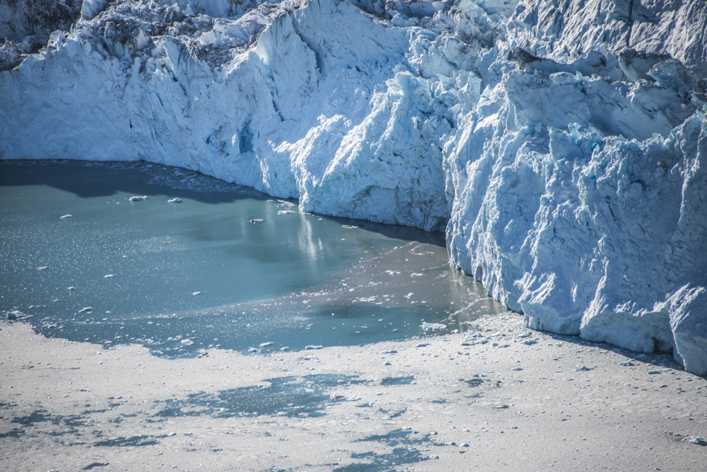
Above: Brown streams surging under the Northern Glacier
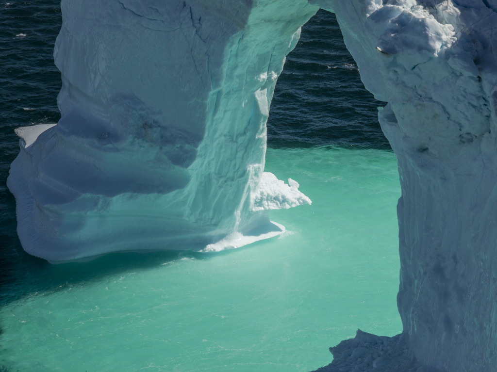
Glacier melt is evident everywhere.


Above: Meltwater Ponds and Rivers
We then continued our flight over the Labrador Sea to view the icebergs from above.